
CAREERS ENCYCLOPEDIA

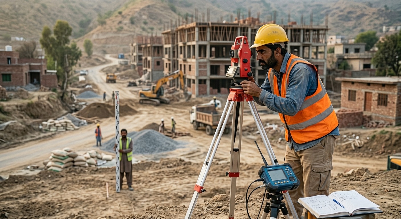
Land Surveyor
A Land Surveyor measures and maps land, property boundaries and construction sites. They use surveying instruments and digital mapping tools to collect accurate location data for construction, property development, roads and infrastructure projects.
- Measure land and property boundaries
- Conduct field surveys
- Record survey measurements
- Prepare land maps and plans
- Establish reference points
- Check elevations and distances
- Use GPS surveying equipment
- Work with engineers and architects
- Prepare survey reports
Land Surveying
- Land measurements
- Property boundaries
- Surveying methods
Mapping
- Topographic maps
- Coordinates
- Elevation and distances
Construction
- Site layouts
- Building positions
- Construction measurements
Field Surveying
- Take accurate measurements
- Establish survey points
- Record field observations
Mapping
- Prepare survey maps
- Plot land boundaries
- Interpret site plans
Equipment Operation
- Use total stations
- Operate GPS surveying equipment
- Use leveling instruments
Spatial
- Understand distances and locations
- Visualize land features
Numerical
- Perform measurements and calculations
- Work accurately with coordinates
Attention
- Detect measurement errors
- Maintain accurate survey records
People interested in this work like activities that include land, measurements, outdoor work, and technical problem solving.
They do well at jobs that need:
- Accuracy
- Attention to Detail
- Patience
- Practical Thinking
- Responsibility
Surveying Equipment
- Total stations
- Automatic levels
- Theodolites
GPS and Positioning
- GNSS receivers
- GPS surveying systems
Mapping Software
- AutoCAD Civil 3D
- ArcGIS
- QGIS
- Intermediate with Mathematics or science subjects
- Diploma or degree in Surveying, Civil Engineering or a related field
- Strong mathematics and measurement skills
- Training in surveying equipment
- Field experience is useful
Land Surveyors can work in construction, property development, road projects, government land departments and infrastructure projects. Demand is linked to construction, urban development and land management.
- Construction companies
- Land development companies
- Civil engineering firms
- Surveying firms
- Government land departments
- Road and infrastructure projects
- Real estate development companies
- Municipal authorities
- Intermediate with Mathematics
- Diploma in Land Surveying
- Bachelor degree in Surveying Engineering
- Bachelor degree in Civil Engineering
- GIS and surveying certifications
- University of Engineering and Technology Lahore
- National University of Sciences and Technology
- University of Engineering and Technology Peshawar
- Mehran University of Engineering and Technology
- University of the Punjab
- NAVTTC affiliated technical institutes
- Surveying diploma: PKR 30,000 to 150,000 per year
- Bachelor degree: PKR 70,000 to 400,000 per year
- Surveying short courses: PKR 15,000 to 80,000
- GIS training: PKR 10,000 to 60,000
- Basic surveying equipment training: PKR 10,000 to 50,000
- Merit scholarships: 25 percent to 100 percent
- Need based financial aid may also be available