
CAREERS ENCYCLOPEDIA

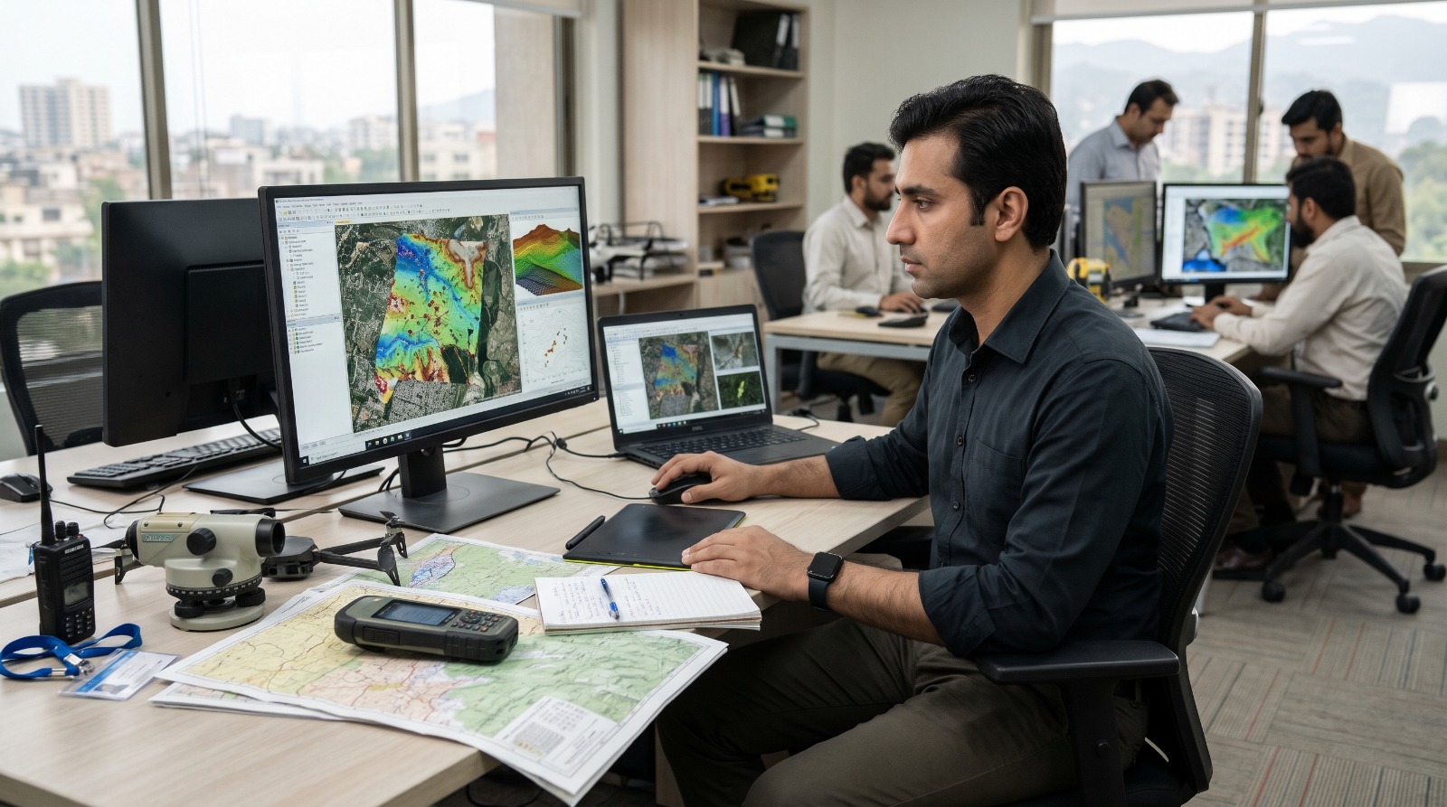
GIS Specialist
A GIS Specialist uses Geographic Information Systems (GIS) to collect, analyze, manage, and visualize geographic data. They create digital maps, study spatial patterns, and provide location-based information to support decision-making in urban planning, environmental management, agriculture, transportation, disaster management, and other fields.
- Collect and organize geographic data from surveys, GPS devices, satellite images, and databases.
- Create digital maps and spatial visualizations.
- Analyze geographic information to identify patterns and relationships.
- Update and maintain GIS databases and digital map layers.
- Use satellite imagery and remote sensing data for mapping projects.
- Support urban planning, land management, and infrastructure development.
- Prepare spatial analysis reports and map-based presentations.
- Verify data accuracy and correct mapping errors.
- Coordinate with surveyors, planners, engineers, and researchers.
- Maintain GIS project documentation and follow data management standards.
GIS and Spatial Data
- Understand geographic coordinates, map projections, and spatial reference systems.
- Know vector and raster data formats.
- Understand spatial databases and geographic data layers.
Remote Sensing and Mapping
- Understand satellite imagery and aerial photography.
- Know basic image interpretation and land use classification.
- Understand cartographic principles and map design.
Spatial Analysis
- Understand buffering, overlay analysis, and spatial queries.
- Know how geographic patterns support planning decisions.
- Understand data accuracy, scale, and spatial relationships.
Digital Mapping
- Create accurate maps using GIS software.
- Organize layers, symbols, labels, and map layouts.
- Convert and manage common geographic data formats.
Geospatial Data Analysis
- Perform spatial queries and geographic calculations.
- Analyze land use, population, environmental, and infrastructure data.
- Validate datasets and identify inconsistencies.
Data Management and Reporting
- Maintain GIS databases and project files.
- Prepare maps, reports, and presentations.
- Communicate spatial findings to technical and non-technical audiences.
Spatial Reasoning
- Understand geographic relationships and location patterns.
- Visualize how features relate to one another on a map.
- Interpret complex geographic information.
Analytical Ability
- Identify trends and patterns in spatial datasets.
- Compare geographic information from different sources.
- Evaluate data quality and analysis results.
Technical and Organizational Ability
- Learn new mapping tools and data formats.
- Manage multiple GIS layers and project requirements.
- Maintain consistent and accurate geographic records.
GIS Specialists are generally analytical, detail-oriented, methodical, and interested in geography and technology. They do well at jobs that need:
- Accuracy: Maintain reliable geographic data.
- Curiosity: Explore spatial patterns and geographic questions.
- Patience: Process complex datasets carefully.
- Critical Thinking: Interpret spatial information logically.
- Organization: Manage maps, layers, and project files.
- Adaptability: Learn new GIS tools and technologies.
GIS Software
- Use ArcGIS Pro and ArcGIS Online for mapping and spatial analysis.
- Use QGIS for open-source GIS projects.
- Work with GIS extensions and mapping tools where required.
Remote Sensing and GPS
- Use satellite imagery from sources such as Landsat and Sentinel.
- Work with GPS receivers and field data collection applications.
- Use image processing tools for land cover and environmental analysis.
Databases and Programming
- Use PostgreSQL with PostGIS or other spatial databases.
- Apply Python or SQL to automate GIS tasks and process data.
- Use web mapping tools and APIs where required.
- A bachelor's degree in GIS, Geography, Geoinformatics, Geomatics, Remote Sensing, Environmental Science, or a related field.
- Knowledge of geographic data, coordinate systems, and map projections.
- Practical experience with GIS software such as ArcGIS or QGIS.
- Skills in spatial analysis and digital cartography.
- Basic understanding of GPS, satellite imagery, and remote sensing.
- Computer skills and attention to detail.
- Knowledge of Excel, databases, or programming is beneficial.
- Field survey, mapping, or GIS project experience is an advantage.
- Specialized positions may require postgraduate education or additional technical training.
GIS Specialists work across government, engineering, environmental management, agriculture, urban planning, telecommunications, and disaster response. Demand is supported by digital mapping, infrastructure development, climate monitoring, and location-based data analysis. Experienced professionals may progress to Senior GIS Specialist, GIS Analyst, Remote Sensing Specialist, Geospatial Data Manager, or GIS Project Manager.
- Surveying and mapping organizations.
- Urban and regional planning departments.
- Government land and development authorities.
- Environmental protection and conservation organizations.
- Agriculture and forestry departments.
- Disaster management and emergency planning agencies.
- Engineering, construction, and infrastructure companies.
- Telecommunications and utility companies.
- Research institutes and universities.
- Geospatial technology companies and GIS consulting firms.
- BS Geography, GIS, Geoinformatics, Geomatics, or a related degree.
- MS GIS, Remote Sensing, Geospatial Science, or a relevant specialization for advanced roles.
- Short courses in ArcGIS and QGIS.
- Training in spatial analysis and digital cartography.
- Remote sensing and satellite image processing courses.
- GPS surveying and field data collection training.
- SQL, Python, and spatial database courses.
- Practical GIS projects or internships with mapping and planning organizations.
- University of the Punjab, Lahore: Geography and related spatial science programs where offered.
- University of Peshawar: Geography and related earth science programs.
- Quaid-i-Azam University, Islamabad: Earth sciences, environmental sciences, and related research programs.
- National University of Sciences and Technology (NUST), Islamabad: Geomatics, surveying, and related technical programs where available.
- University of Karachi: Geography and related disciplines.
- COMSATS University Islamabad: Relevant environmental and computing programs where offered.
- Pakistan Institute of Space Technology (IST), Islamabad: Explore space science, remote sensing, and related technical programs.
- Survey of Pakistan: Explore relevant surveying and mapping training or professional opportunities where available.
- Private GIS training providers: Short courses in ArcGIS, QGIS, spatial analysis, and remote sensing.
- Public university bachelor's degree: PKR 60,000 to 300,000 per year.
- Private university bachelor's degree: PKR 150,000 to 700,000 per year.
- Master's degree in GIS or a related field: PKR 150,000 to 600,000 in total, depending on the program.
- GIS software training: PKR 10,000 to 50,000.
- Remote sensing course: PKR 10,000 to 40,000.
- Python or spatial database training: PKR 10,000 to 50,000.
- GPS field equipment and practical materials: PKR 5,000 to 30,000.
- Books, printing, and project materials: PKR 10,000 to 30,000 per year.
- Eligible students may receive 25% to 100% financial assistance through university scholarships, HEC-supported schemes, provincial programs, or need-based aid.
- Free learning resources are available for QGIS and selected satellite imagery datasets, helping reduce training costs.